

Urby-val is a cloud analysis system to help with real estate valuation. The system aggregates different data sources to provide an overall picture of the area of interest. The analysis is based on the geolocation of all the information present in the system.
UrbyVal, descriptor, identifier and asset enhancer.
National coverage.
Extraction of geometric, econometric, historical, environmental and social characteristics that determine the value of assets, In favor of prudent management and profitable investments.
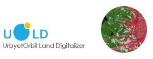
UOLD: technology at the service of Fintech.
Investment risk can be mitigated with new satellite technologies. UOLD provides a readable and easy to apply natural and anthropogenic risk assessment.
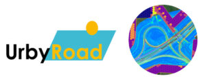
UrbyRoad: satellite control and management of road assets in a single solution.
Using very high resolution satellite data has always been expensive and complicated. RoadGIS does this intelligently. Only the areas under investigation are considered and the cost of the data is reduced to 1/50.
UrbyLand: the GIS solution to evaluate, verify and qualify changes in the territory.
We work on many small batches of high resolution satellite data distributed nationally with very low costs and adding many other data to qualify all areas of interest.
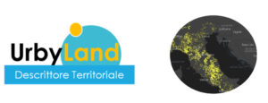
Extraction and qualification of territorial areas based on cadastral and econometric data.